Guide - Wild and Trek
Visiting active volcanoes in Japan: what you can reach
Sakurajima, Aso, Hakone and Fuji are reachable, each with hard limits. Levels change without notice, so check the Japan Meteorological Agency the day you go.
You can visit four active volcanoes with a plan: Sakurajima, Aso, Hakone’s Owakudani and Mt Fuji. Sakurajima bans entry within 2 km of its craters by law, Hakone’s ropeway stops when volcanic gas passes a set level, and Fuji has a short official climbing season in summer. Alert levels change without notice, so check the Japan Meteorological Agency (JMA) before you go.
Which active volcanoes can you reach?
Four have sourced access rules. The table gives what each allows and its hard limit.
| Volcano | What you can do | The limit |
|---|---|---|
| Sakurajima | Visitor centre, hiking courses | No entry within 2 km of Minamidake and Showa craters |
| Aso | Kusasenri, volcano museum, Kishimadake (unconfirmed) | No entry within about 1 km of Nakadake while Level 2 applies |
| Hakone | Owakudani by ropeway | Gas readings can suspend all lines |
| Fuji | Summer climb | 2026 Yoshida season: 1 Jul to 10 Sep |
JMA also reports on Zao, Asama, Kirishima, Tokachidake, Unzen and Usu. No access rules, closures, shelters or visitor-centre details for them are in the sources used, so they have no section here.
What do JMA alert levels mean?
JMA uses five levels, and each one carries an action. The wording below follows an English reproduction of the JMA table (secondary), because the official English table page was not reachable.
| Level | Meaning |
|---|---|
| Level 1 | The volcano is active; stay aware |
| Level 2 | Do not approach the crater |
| Level 3 | Do not approach the volcano; entry is restricted |
| Level 4 | Prepare to evacuate; the elderly and vulnerable evacuate |
| Level 5 | Evacuate |
Levels can move within weeks. A news report (secondary) says Aso rose to Level 2 on 21 June 2026 and to Level 3 on 14 August 2026. Treat that history as unconfirmed, and read the current level on the JMA map. Volcano alert levels in Japan, and where to check them covers the scale in full.
Where do you check before you go?
Use JMA’s English volcanic warnings map on the morning of your visit. JMA also issues Eruption Notices and ash-fall forecasts for people entering volcanic areas. Its Volcanic Information for Mountaineers section is in Japanese only.
Before you go Open the JMA volcanic warnings map on the morning of your visit. A level can change without notice.
Sakurajima: how close can you go?
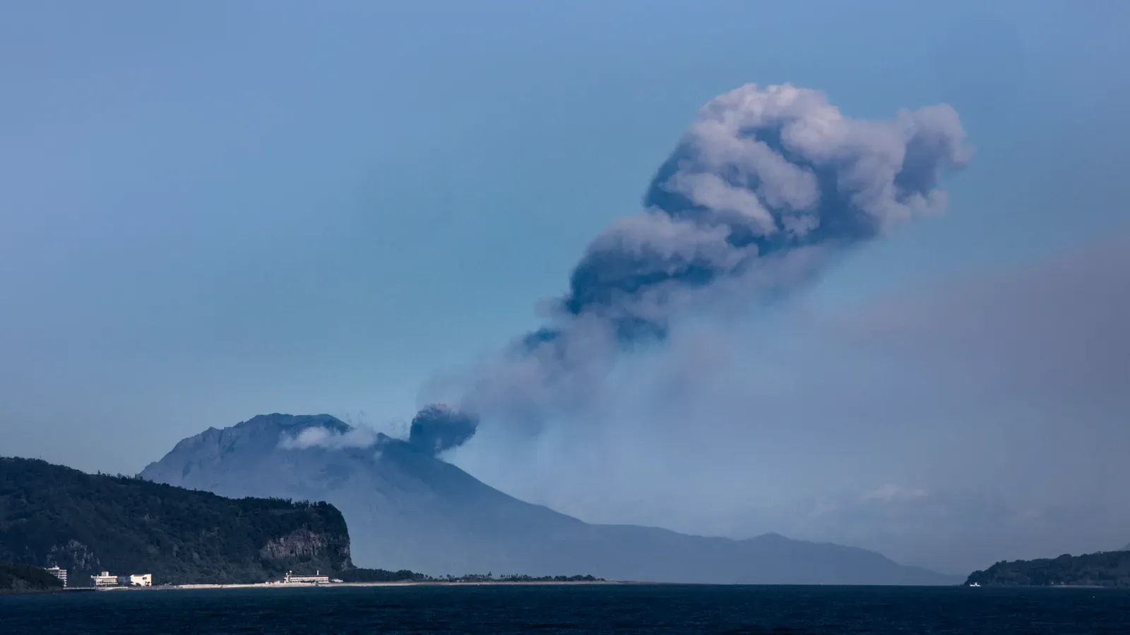
Entry within 2 km of the Minamidake and Showa craters is banned by law, according to Kagoshima City. Tourist facilities and hiking courses on the island stay at least 2 to 2.5 km from the craters, per Kagoshima tourism and the Sakurajima Visitor Center.
The Sakurajima Visitor Center is at 1722-29 Sakurajima-yokoyama-cho, Kagoshima (+81-99-293-2443). Its website carries live crater footage and eruption statistics. Opening hours were not found.
The island has concrete boulder shelters, evacuation houses and ports, and the Sabo Center is an evacuation facility, according to Kagoshima City. No ash-mask rule is listed on the official pages.
Aso: what is confirmed and what is not
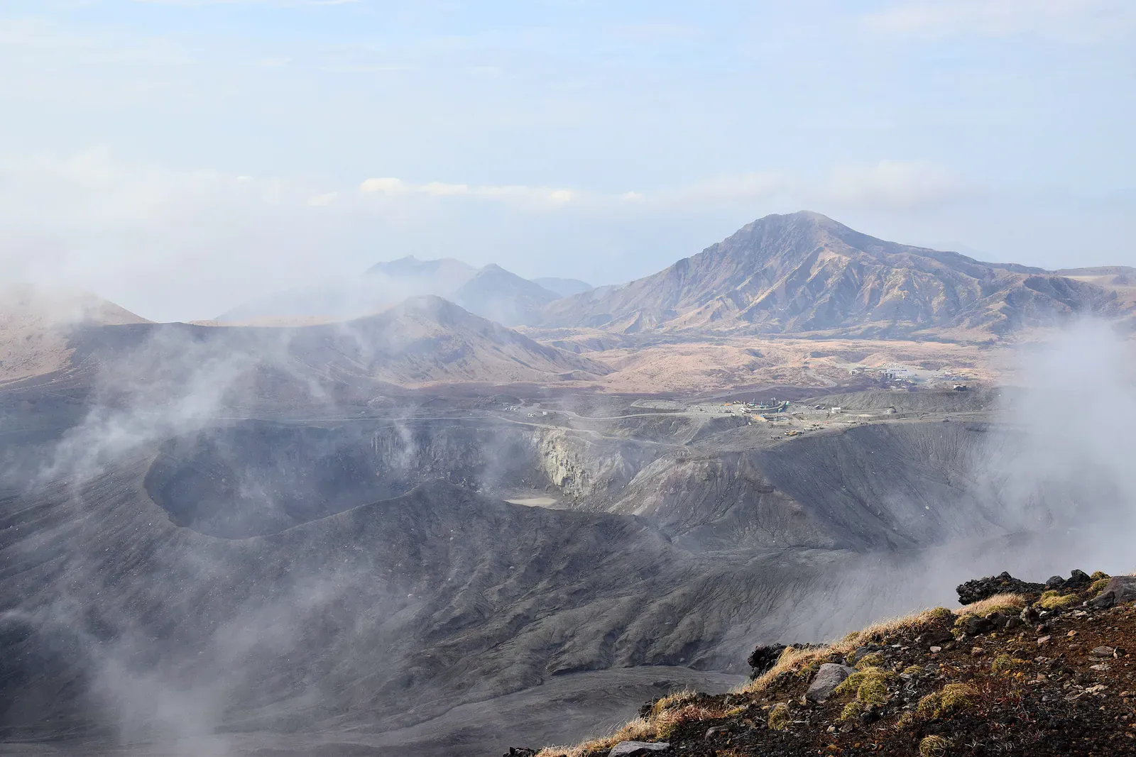
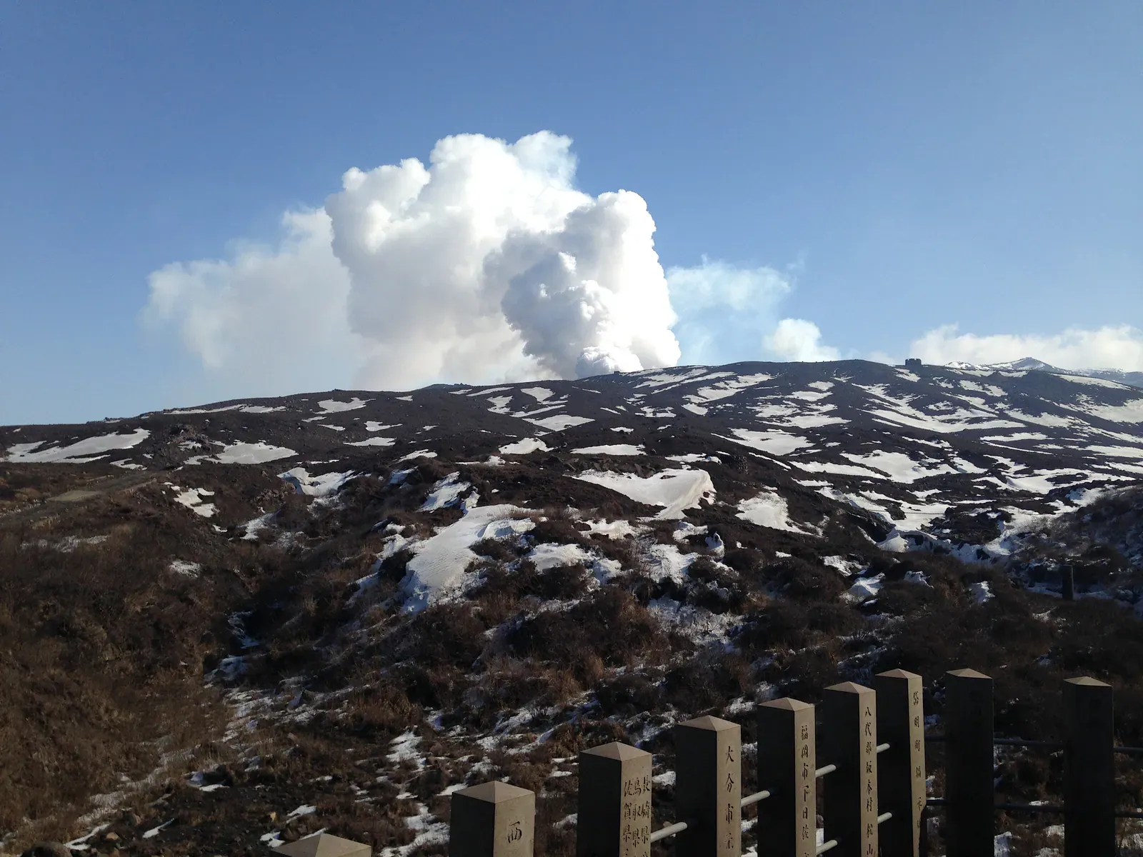
Aso City’s tourism page says that while Level 2 is in force, entry within about 1 km of the Nakadake crater is banned, crater viewing and Sunachidorigahama are closed, and the Takadake and Nakadake climbs use detour routes via Sarayama and Suzume-iwa. The page gives no end date. The Aso City Office phone is 0967-22-3111.
A secondary guide reports that Kusasenri, the volcano museum and Kishimadake are open; no official page confirms it. No verified official page for a morning-of check at Aso exists in the sources used, so use the JMA map on the day.
Hakone Owakudani: what is the gas limit?
The Hakone Ropeway measures SO2 gas constantly and suspends service at 5.0 ppm. It works in three bands:
| Reading | Status |
|---|---|
| Below 0.2 ppm | Normal |
| From 0.2 ppm | Caution |
| From 5.0 ppm | Suspension; all lines may stop |
Safety Skip the Sounzan to Ubako section if you have asthma, respiratory or heart disease or a pacemaker, or are pregnant, elderly or travelling with an infant: the ropeway bars you from boarding. Wet towels are handed out and the cars carry oxygen kits.
The ropeway runs 9:00 to 17:00 from February to November and 9:00 to 16:15 in December and January, and halts for bad weather and periodic inspection. Planned suspensions appear in a Hakone transport notice seen in search results (secondary). Owakudani to Sounzan stops from 7 to 24 December 2026, and Togendai to Ubako to Owakudani stops from 12 January to 26 February 2027, with replacement buses. The ropeway’s own page lists no dates, so confirm both with the operator.
Kanagawa Prefecture says a zone the mayor designates around the assumed crater carries a legal entry restriction. The prefecture’s page is old, so the current zone is unconfirmed.
Mt Fuji: what does the volcano season look like?
Fuji’s official climbing season is in summer. In 2026 the Yoshida and Subashiri trails ran 1 July to 10 September, and Fujinomiya and Gotemba ran 10 July to 10 September. The fee is $26 (¥4,000) per person per climb on all four trails. The Yoshida 5th-station gate is shut from 14:00 to 03:00 unless you hold a hut booking, and descent is always allowed.
The 2027 dates and fees are not published yet. Shizuoka says it will announce them as soon as they are decided, so treat the 2026 figures as last known.
What to carry and where to shelter:
- Bring a helmet, mask and goggles. If the alert level rises, descend at once.
- Yoshida trail shelters stand at the 6th station on the way up and the 7th station on the way down.
- Subashiri, Gotemba and Fujinomiya have no trail shelters, so use the huts.
- Yamanashi has built two rockfall shelters on the descent trail, each for 135 people standing with no luggage, and plans 13 by FY2031.
Dollar figures use about ¥155 to US$1 and are rounded; you pay in yen, so check the rate. Season, fee and booking rules are in Climbing Fuji: 2026 season, fee and gate rules.
Which volcano fits your dates?
Two of the four run on a calendar. Fuji needs July to September, with the 2026 seasons starting on 1 or 10 July. The Hakone ropeway has two planned winter suspensions: 7 to 24 December 2026 and 12 January to 26 February 2027. No seasonal closure or operating hours were found for Sakurajima or Aso, so check the JMA map for those two.
Where next?
The Wild and Trek guide covers volcanoes alongside whales, beaches, wildlife and hiking, and the Wild and Trek hub lists every page. For the sea, see Whale watching in Japan, month by month and Japan beaches by region. Bear safety in Japan covers the other risk on Honshu and Hokkaido trails.
Quick answers
Can I walk to the Sakurajima crater?
No. Entry within 2 km of the Minamidake and Showa craters is banned by law, according to Kagoshima City. The island's hiking courses and tourist facilities stay at least 2 to 2.5 km from the craters.
Where do I check a volcano's alert level?
On the Japan Meteorological Agency's English volcanic warnings map, on the morning you go. Levels change without notice. JMA also issues Eruption Notices and ash-fall forecasts for people entering volcanic areas, and its mountaineers section is Japanese only.
Does the Hakone ropeway stop for volcanic gas?
Yes. The Hakone Ropeway measures SO2 constantly: below 0.2 ppm is normal, 0.2 ppm or more is a caution and 5.0 ppm or more suspends service, when all lines may stop. People with asthma, respiratory or heart disease or a pacemaker are barred from the Sounzan to Ubako section.
What do the five JMA alert levels mean?
Level 1: the volcano is active, stay aware. Level 2: do not approach the crater. Level 3: do not approach the volcano. Level 4: prepare to evacuate. Level 5: evacuate. The wording follows an English reproduction of the JMA table (secondary).